Where is Ilha do Mel located: State, Map and How to Get There
If you're searching for "where is Ilha do Mel?", "Ilha do Mel Paraná" or even "Ilha do Mel SC", this guide clarifies everything. Ilha do Mel is one of the most preserved destinations on the Brazilian coast — and it's located in the state of Paraná, in the Southern region of Brazil.
In which state is Ilha do Mel located?
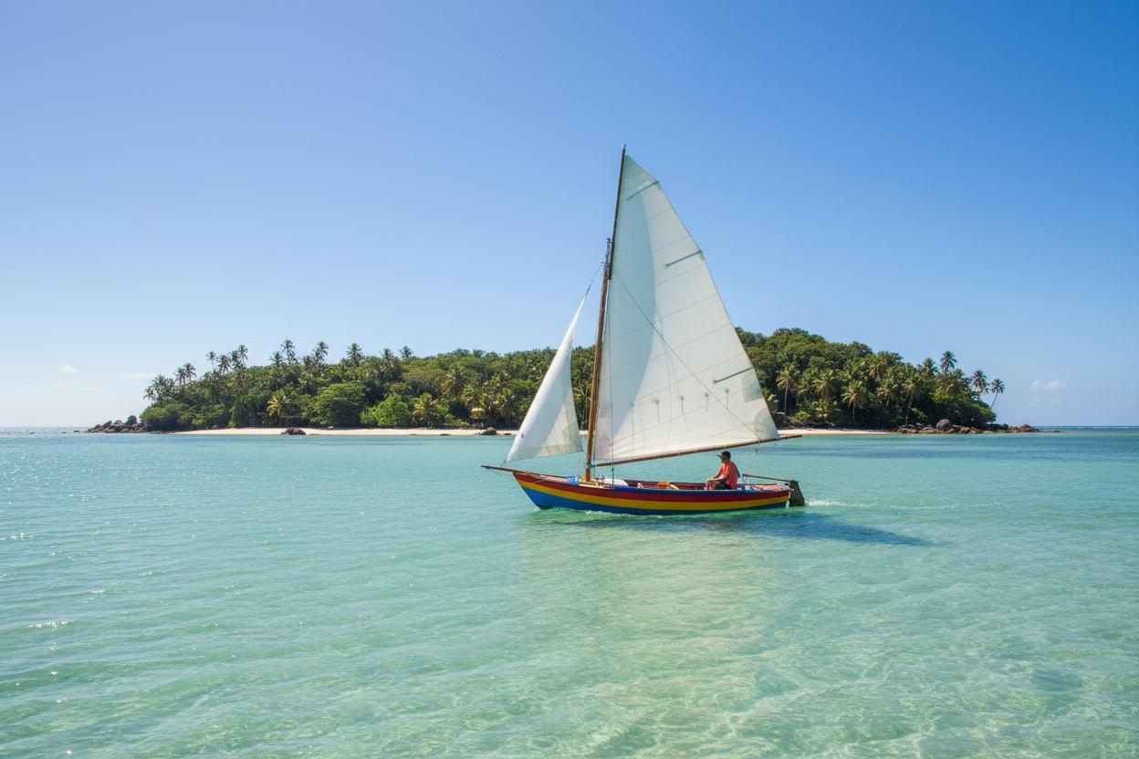
Ilha do Mel (Honey Island) is located on the coast of Paraná, more precisely in the Paranaguá Bay, about 100 km south of the capital Curitiba. It is an island without cars, without paved roads and with limited infrastructure — which makes it a unique natural refuge in Brazil.
Geographical coordinates: 25°32′S 48°20′W
Is Ilha do Mel in Santa Catarina?
No. Despite being a common misconception (especially for those coming from Santa Catarina), Ilha do Mel is 100% part of Paraná state. The confusion arises because:
-
The island is located on the geographical border between Paraná and Santa Catarina states.
-
Many tourists from Florianópolis and Balneário Camboriú visit the island.
-
Access is via cities near the border between the states.
But officially, Ilha do Mel belongs to the municipality of Paranaguá, in Paraná.
Distance from Curitiba to Ilha do Mel
The distance from Curitiba to Ilha do Mel is approximately:
-
By car: 110 km to Pontal do Sul (1h40) + 30 min by boat
-
By bus: 1h30 to Paranaguá + 30 min by boat
-
Total trip: approximately 2h30 to 3h from Curitiba
The car journey follows the BR-277 (Rodovia do Café) to Paranaguá, then continues to Pontal do Sul or Paranaguá, where you board the boat.
See the complete guide on how to get there →
Map of Ilha do Mel (Honey Island)
The island is approximately 25 km long and is divided into two main villages:
| Village | Characteristics | Access |
| ----------------- | --------------------------------------------------- | ------------------------- |
| Nova Brasília | Greater infrastructure, restaurants, beaches of Farol | Nova Brasília Pier |
| Encantadas | More tranquil, sunrise, access to trails | Encantadas Pier |
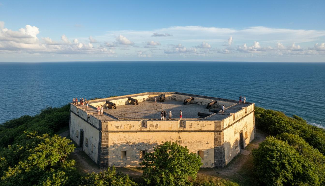
The northern part of the island is home to the Fortress of Our Lady of Pleasures and the Fortress Beach, a virtually deserted 4 km long beach.
Nearby cities
| City | Distance | Driving Time |
| ------------- | --------- | -------------- |
| Curitiba | 110 km | 1h40 |
| Paranaguá | 25 km | 30 min |
| Pontal do Sul | 30 km | 35 min |
| Guaratuba | 60 km | 1h |
| Morretes | 40 km | 50 min |
How to get there: quick summary
- Arrive in Pontal do Sul or Paranaguá by car or bus
- Park your car (R$ 30-50/day in Pontal do Sul)
- Board the boat (R$ 35-50 one way, 30-40 min crossing)
- Disembark in Nova Brasília or Encantadas
Important tip: It is not possible to take a car to the island. The crossing is only by boat or ferry, and on the island transportation is on foot or by handcart.
Complete guide on how to get there with updated prices →
Why visit Ilha do Mel?
Ilha do Mel is a State Park and environmental preservation area. With no cars, no ATMs, and limited infrastructure, the island offers:
- 9 beaches with crystal-clear water
- 6 trails through the Atlantic rainforest
- Historic fortress from the 18th century
- Boat trips with snorkeling
- Homemade cuisine with seafood
See the complete guide to Ilha do Mel →
Want to truly know Ilha do Mel?
Our complete guide has itineraries, local tips, budget by profile and everything you need to plan the perfect trip.
See complete guide