Why do giant ships pass in front of Ilha do Mel?
If you've ever taken a boat trip to Ilha do Mel, you've certainly seen: giant ships, some the size of skyscrapers, passing seemingly just a few meters from the beach. It's a spectacle that surprises first-timers and still impresses locals.
But why are these ships there? The answer lies in one of the largest ports in Latin America — and it's literally next to the island.
🎬 Navio cargueiro passando na frente da Ilha do Mel, visto de Paranaguá
The Port of Paranaguá: the giant neighbor
Ilha do Mel is located at the entrance to Paranaguá Bay, one of the largest estuaries in the South Atlantic. The shipping channel that provides access to the Port of Paranaguá passes between the island and the mainland—which is why the ships seem so close.
| Information | Details |
| ---------------------------- | ---------------------------------------- |
| Name | Port of Paranaguá |
| Location | Paranaguá Bay, Paraná coast |
| Distance from Ilha do Mel | ~2-5 km (depending on the point on the island) |
| Annual traffic | +50 million tons of cargo |
| Main cargoes | Grains, sugar, vegetable oil, containers |
| Ship size | Up to 230 meters in length |
The Port of Paranaguá is the largest grain exporter in Latin America and one of the main vegetable oil ports in the world. Together with the neighboring Port of Antonina (on the other side of the bay), it forms the most important port complex in southern Brazil.
Why do the ships pass so close?
The navigation channel of Paranaguá Bay has unique characteristics:
-
Narrow natural channel — The bay is an estuary, not an open bay. The deep channel is relatively narrow and runs close to Ilha do Mel (Honey Island).
-
Controlled depth — Large ships must follow the line of greatest depth (dred access channel), which runs along the edge of the island.
-
Mandatory Route — There is no other way. Every ship entering or leaving the Port of Paranaguá must pass in front of Ilha do Mel (Honey Island).
Interesting fact: On days with low tide, very large ships need to wait in the "anchorage area"—an anchorage point in front of the island—until the channel is deep enough for them to continue their journey.
What type of ship can you see?
During a 2-3 day stay on Ilha do Mel, it is common to see:
| Ship Type | What it Carries | Typical Size |
| ------------------------- | ----------------------------- | -------------- |
| Bulk Carriers | Soybeans, corn, wheat | 190-230m |
| Oil Tankers | Vegetable oil, fuel | 180-220m |
| Container Ships | Various containers | 200-300m |
| General Cargo Ships | Sugar, fruit, fertilizers | 150-200m |
Grain carriers are the most frequent type of cargo — Paraná is the largest soybean-producing state in Brazil, and Paranaguá is the main gateway for exports.
Where can I see the ships on Ilha do Mel?
Several points on the island offer privileged views of the navigation channel:
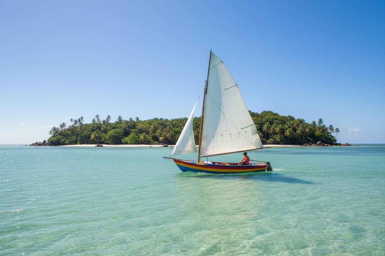
Encantadas Beach
The island's most famous beach faces the bay. On clear days, you can see ships anchored in the distance and others passing through the channel. The sunset with a ship in the background is a classic photo opportunity.
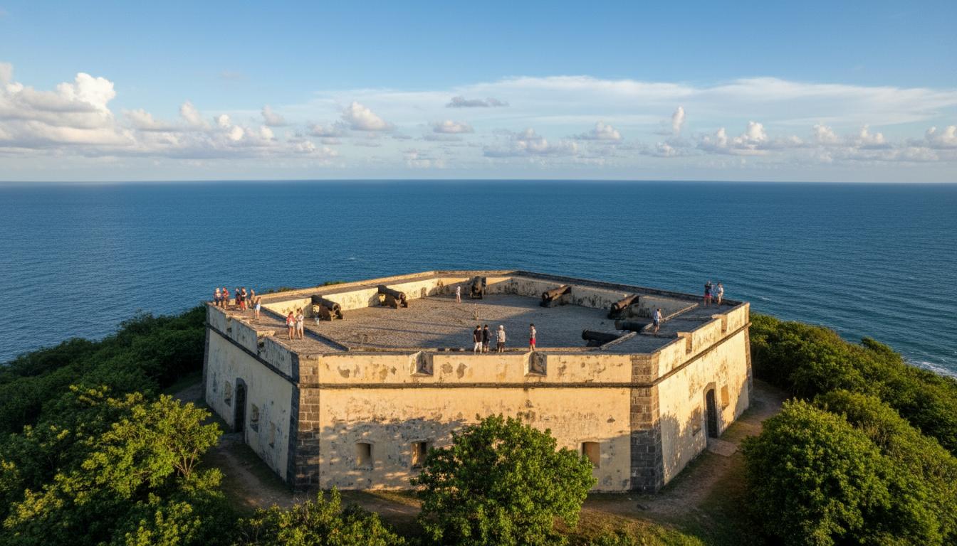
Lighthouse Beach
From the top of Morro do Farol, the 360° view allows you to spot ships all along the bay. It's the best panoramic viewpoint.
During the boat crossing
The crossing from Pontal do Sul to Ilha do Mel takes 30-35 minutes and follows the same channel as the larger ships. It's common to encounter cargo ships—an experience that few tourist destinations offer.
Local tip: ships tend to pass by more frequently in the early morning (6am-9am) and late afternoon (4pm-6pm), when the tide is favorable for navigation.
🌊 Praias com vista para os navios


Is the navigation channel dangerous?
No. The channel is monitored 24/7 by the Port of Paranaguá and the Brazilian Navy. The passenger boats that make the crossing to Ilha do Mel are small, agile vessels that navigate in shallow waters close to the coast—far from the route of large ships.
The distance between the ships and the island is greater than it seems (usually 2-5 km), but the perspective from the beach makes them appear much closer.
Interesting facts about the Port of Paranaguá
- The port has been operating for over 100 years — since 1917
- In 2024, it broke a record for soybean exports: 15 million tons in a single year
- The access channel has a 14-meter depth dredged, allowing ships up to 230m in length
- Paranaguá Bay is considered one of the most beautiful bays in the world by UNESCO (Atlantic Forest Biosphere Reserve)
Plan your trip to see the ships up close.
Ilha do Mel is one of the few tourist destinations in the world where you can swim in the sea, hike through the Atlantic rainforest, and see cargo ships the size of buildings passing by in the distance. It's a unique combination of preserved nature and world-class port infrastructure.
If you're coming from another state, the easiest way is to fly to Curitiba and then drive to Pontal do Sul.
FLIGHTS TO CURITIBA
Nearest airport to Ilha do Mel
São Paulo
GRU
Curitiba
CWB
Origens mais buscadas
Preço médio ida e volta
R$ 250–450
Vai de Promo affiliate link. You don't pay extra — and help keep the guide independent.
Want to know more about Ilha do Mel?
Now that you know why giant ships pass in front of Ilha do Mel, how about planning your complete itinerary? Our complete guide to Ilha do Mel includes:
-
How to get there from Curitiba, São Paulo, and other cities
-
Where to stay in each village (Nova Brasília or Encantadas)
-
How much the trip costs (budget by profile)
-
The best beaches, trails, and attractions
-
Tips from locals that you won't find anywhere else
Want to truly know Ilha do Mel?
Our complete guide has itineraries, local tips, budget by profile and everything you need to plan the perfect trip.
See complete guide